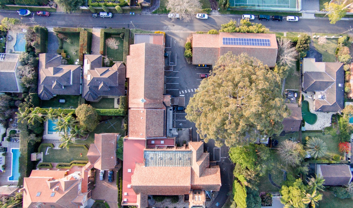
Are you looking for a fast, convenient and cost-effective way to capture aerial imagery? Look no further. Geolocarta’s aerial imagery service is the perfect solution to get the aerial data you need on demand.
Our hassle-free and affordable service makes it easy to get your aerial imagery quickly and accurately. All you have to do is draw an area on the map, click ‘buy now’ and let us do the rest. We send a team to fly the area and capture the aerial map you need, and then deliver your map to you as quickly as 24 hours.
The advantages of using our service are clear: from government, insurance and architecture to construction, engineering and emergency services, our aerial imagery gives you the answers you need. Plus, it’s fast, easy, up to date and affordable.
So don’t waste any more time or money trying to capture aerial imagery the old-fashioned way. Get the aerial data you need with Geolocarta’s aerial imagery service and fly into the future. Order Now!


