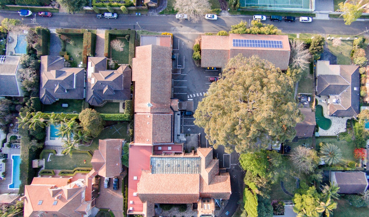
Aerial Imagery: A New Way to Fly
Are you ready to fly into the future? Geolocarta’s aerial imagery service is the perfect solution for getting the aerial data you need on demand. Our easy, quick and cost-effective service lets you draw an area, click buy and receive aerial imagery as soon as 24 hrs! Get the answers you need now!


